1 · Choose the exact place
Start with the land you are considering
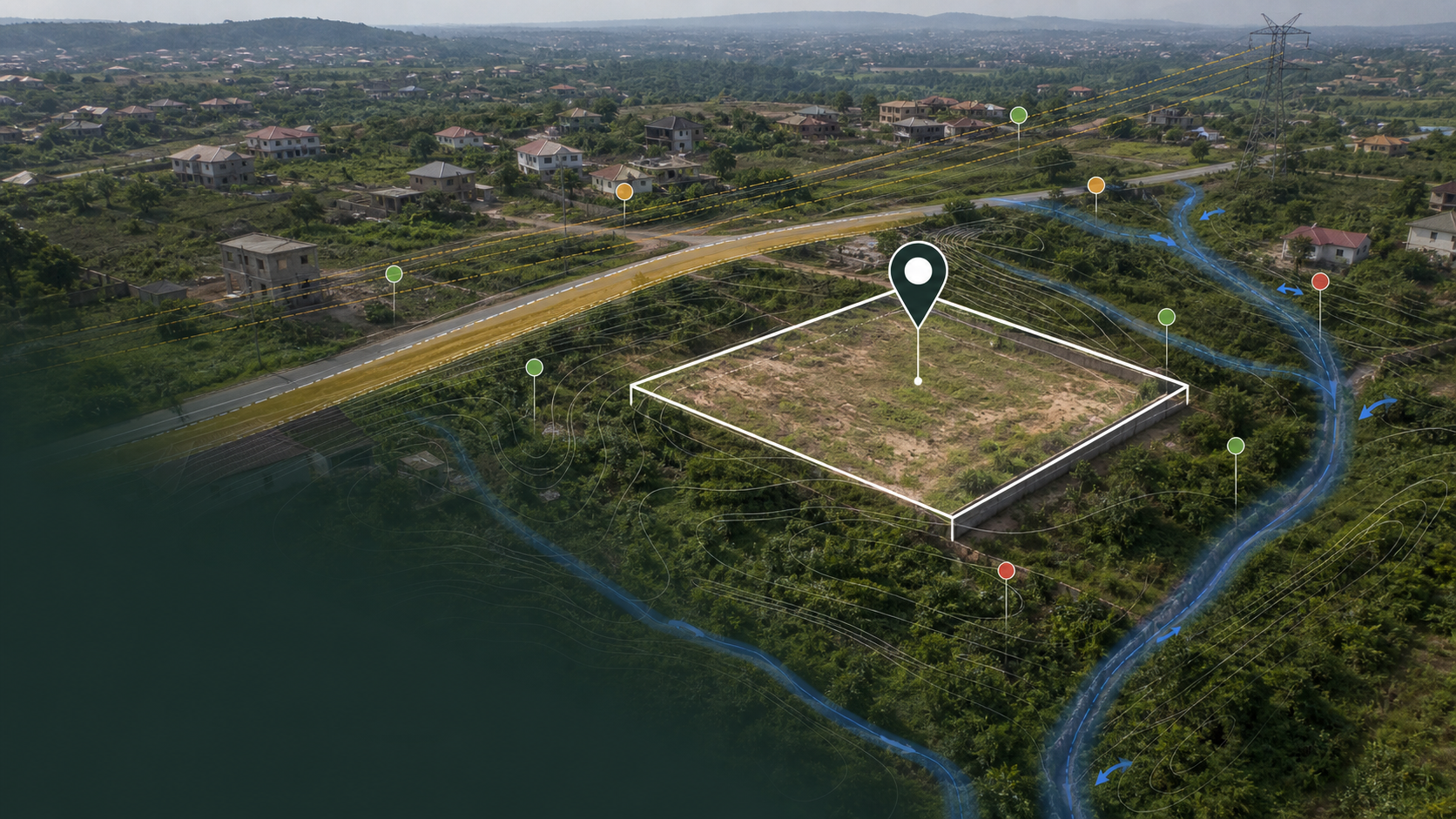
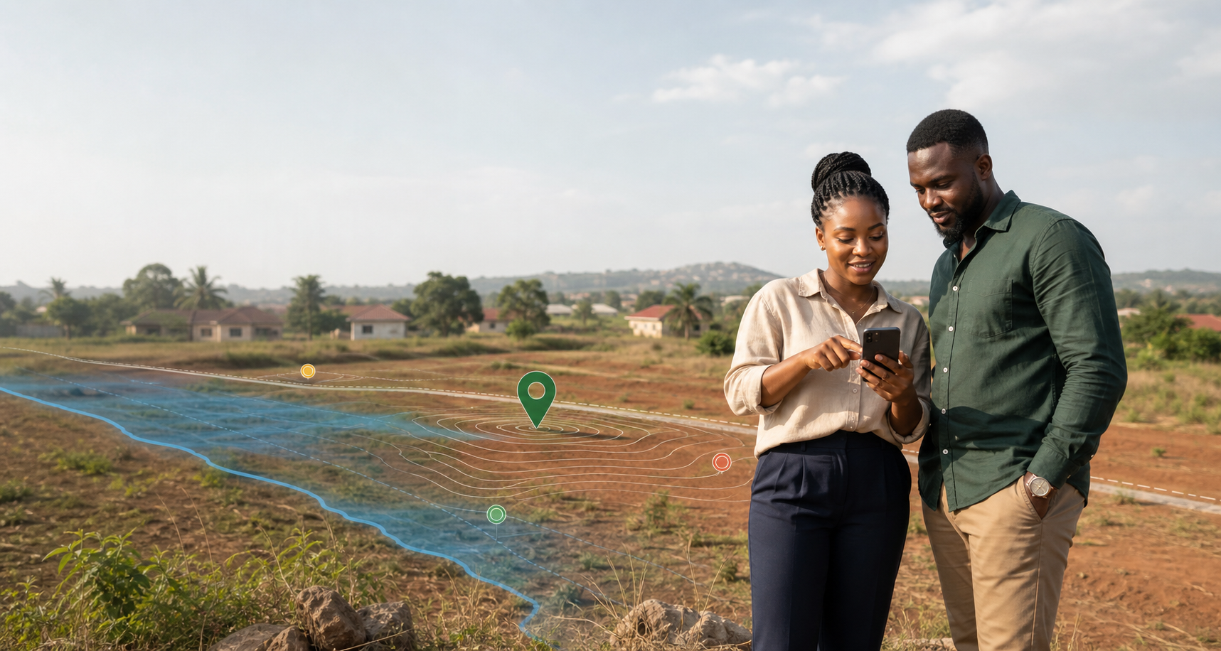
Search for an area, paste GPS coordinates or drop a pin on the map.
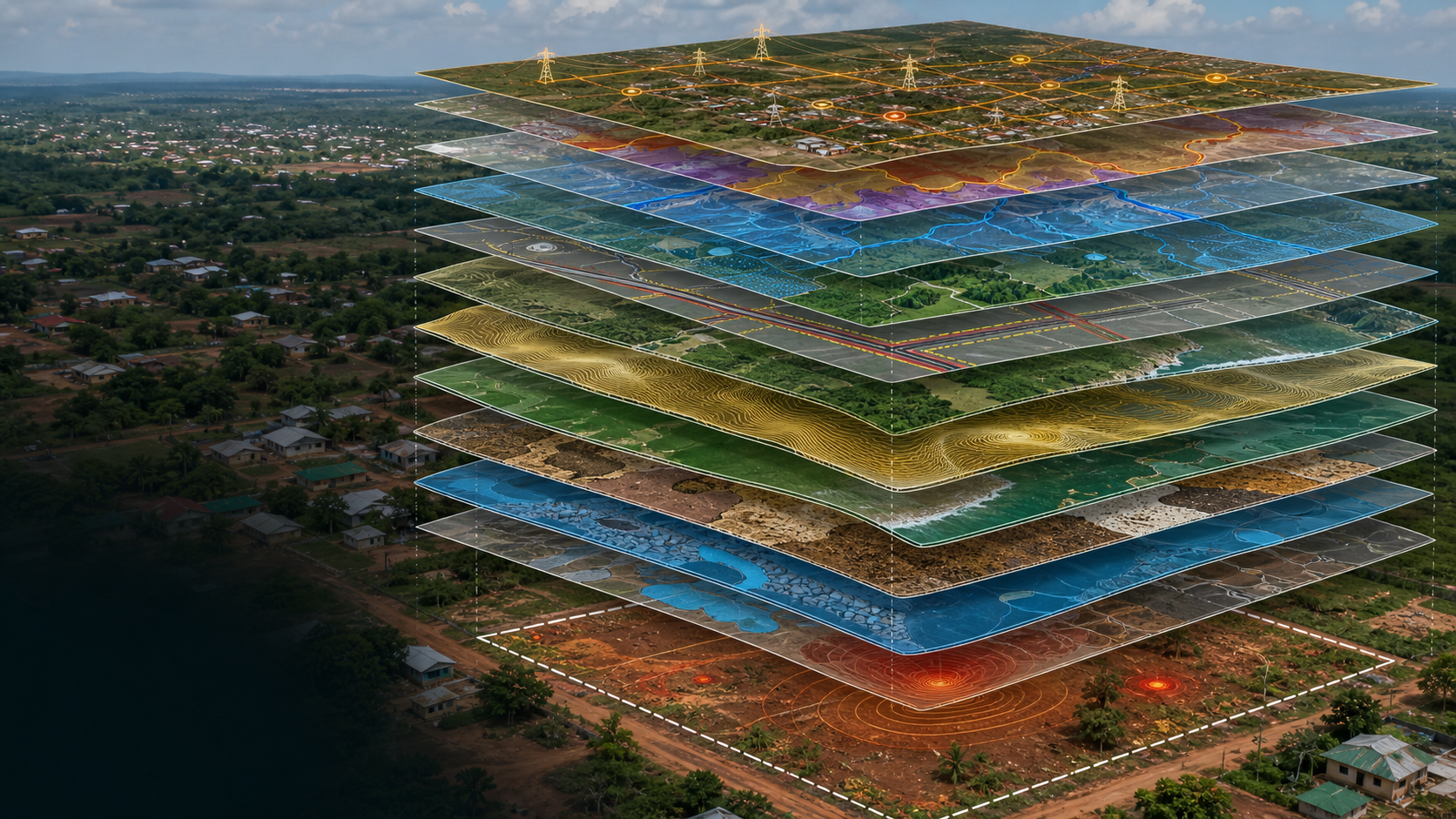
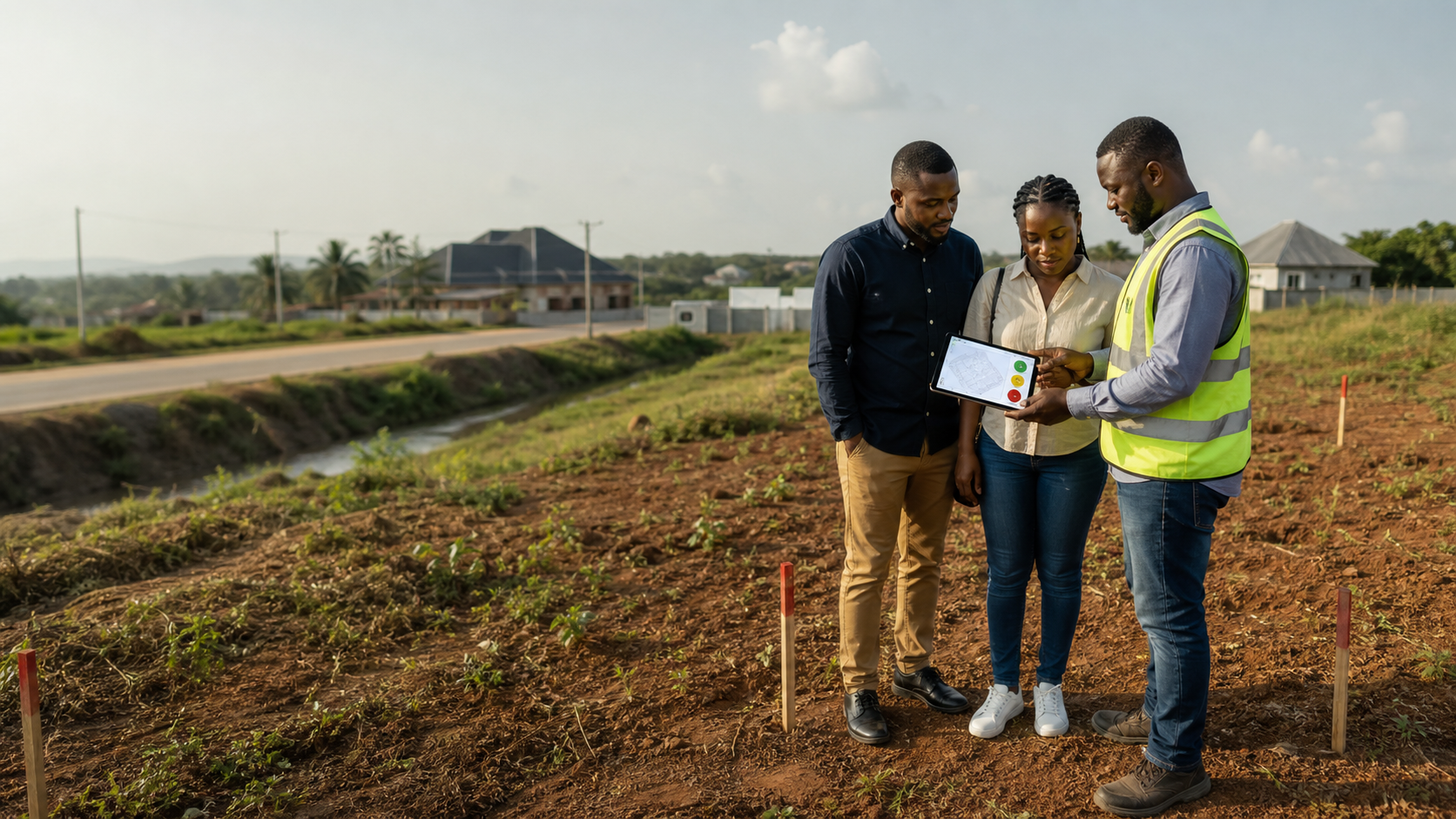
SafeGround checks a Ghana location against 17 land and environmental risks—from flooding and soil conditions to road setbacks, power corridors and illegal mining. You get a clear summary, supporting evidence and practical questions for your surveyor, lawyer or engineer.
Search for an area, paste GPS coordinates or drop a pin on the map.
SafeGround turns map and environmental data into a report you can understand without being a technical expert.
The colours help you decide how urgently a finding needs follow-up. They are screening signals, not approvals.
Start for free. Pay only when you’re ready to unlock the full report.
Search by place name, enter coordinates, or pin the site directly on the map.
View your site on the map with context layers. See a limited preview of available checks.
Pay securely via PayPal or Paystack (Mobile Money, Telecel Cash, AirtelTigo, Visa/Mastercard). Report unlocks instantly on payment.
Receive a clear, practical environmental screening report you can save, share, or use for planning.
Each site is assessed against seventeen environmental and site risk indicators.
Proximity to flood-prone zones, water bodies, and drainage channels.
Checks mapped wetlands, nearby lagoon catchments and combined flood-retention warning signals.
Checks against river corridor setback distances (riparian buffers).
Overlap or proximity to forest reserves, national parks, and WDPA-listed zones.
Checks against required building setbacks from major roads.
SRTM 30m elevation data used to assess slope stability risk.
Regional seismic risk based on the Akwapim fault zone and Ghana hazard zones.
Indicative soil type and bearing suitability for foundation and development.
Proximity to urban centres and national power grid access.
Shoreline change risk based on CSIR-WRI studies and IPCC AR6 West Africa coastal profile.
Proximity to mining sites, galamsey areas, industrial zones, and known contamination hotspots.
Detects shallow water tables, spring/seep zones, and filled wetlands invisible to surface-water satellite sensors — a leading cause of foundation failure and rising damp.
Proximity to HT power transmission corridors and pylon easements with building restriction zones.
Satellite-derived NDVI loss mask identifying areas affected by illegal small-scale mining activity.
Risk from proximity to dam inundation corridors and emergency spillage zones (Akosombo, Bui, Weija and others).
Long-term rainfall deficit patterns and SPEI-based drought frequency for the site region.
Overlap with military, government, utility, or institutional land reserves and exclusion zones.
Useful whether you are buying remotely, already own land, or planning development.
Buying land remotely from Europe, UK, North America, or elsewhere? Screen environmental risks before you commit — without flying out.
Already own land or property in Ghana? Understand the environmental risks affecting your site before you develop or sell.
Planning a development, housing project, or infrastructure work? Use environmental screening as an early-stage feasibility check.
Buying or investing locally? Get a quick structured risk overview before engaging surveyors or lawyers.
No subscriptions. No hidden fees. Pay once, unlock your screening report.
The screening draws on relevant Ghana regulatory frameworks as general background reference.
Ghana’s EPA administers environmental permits under the Environmental Protection Act, 2025 (Act 1124) and the Environmental Assessment Regulations, 2025 (LI 2504). Developments triggering significant environmental impacts require an Environmental Permit and may need a full EIA.
Under the Water Resources Commission Act, 1996 (Act 522) and the Riparian Buffer Zone Policy (2014), development near rivers, lakes, and watercourses requires WRC water use licensing and must observe riparian buffer requirements (10–100 m depending on stream order).
Forest reserves and off-reserve areas are administered under Act 571. Development within or adjacent to forest reserves requires FC approval.
Physical development permits are administered under the Land Use and Spatial Planning Act, 2016 (Act 925) and LI 2384. Zoning, setback requirements, and environmental conditions vary by district spatial development framework.
This service provides preliminary environmental risk screening and general contextual guidance only. It does not replace legal advice, licensed surveying, engineering assessment, planning approval, EPA review, district or municipal assembly processes, or any determination by a competent authority.
We do not certify ownership, title validity, legal boundaries, permit status, or development approval.
Map layers, environmental indicators, and third-party datasets may contain inaccuracies, omissions, or outdated information and are provided for preliminary screening purposes only. All findings should be independently verified by qualified professionals before any land transaction, investment decision, or development activity.
Questions about your screening? Need help with payment confirmation?